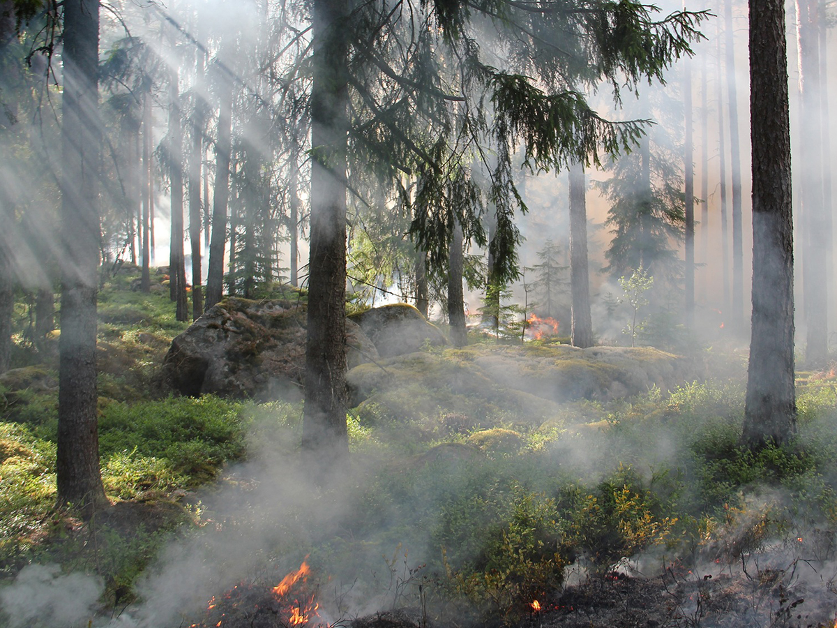
Objective
a) Develop a system that uses prior inventory of ecosystems and near real-time climate and remote sensing data, to drive simulation models to predict fire risk. b) Development and identification of contingencies for a series of early warning categories to provide a series of response protocols to minimize risk, to provide mobilization capabilities, and to reduce social, economic and environmental impacts. c) To outline an integrated decision-making system capable of performing diagnosis and prognosis analysis of risk via dynamic mapping.
The specific objectives of this project are:
- Implement the fire-forage simulation modeling system developed at Texas A&M.
- Identify climate and remote sensing data that are available for the near real-time monitor and develop databases and scripts for incorporating the data into the early warning system framework.
- Identify a series of monitoring sites for parameterizing the simulation model for Yucatan plant communities and for ground-truthing model outputs
- Develop protocols for delivery of first generation early warning products for fire and forage monitoring.
The intellectual merit will be the forecasting of fire-forage-prone areas via an early warning system, and the generation of several early warning system products for stakeholders, including policymaking.
The anticipated binational problems are systems’ integration of resources in a single platform for improving decision-making on fires.
The anticipated results of this initial effort would be installation of the fire-forage early warning system and generation of several early warning system products for stakeholders in the Yucatan including livestock producers, local and state government and the broader impacts considered in this project include the training of binational teams on a wider spectrum of field, technological and policy backgrounds. Cooperation agreements between civil protection authorities are anticipated, particularly for EWS with common ecosystem characteristics.
TAMU PI
 Dr. Jay Angerer
SIIDETEY PI
 Dr. Luis Alberto Muñoz Ubando


Follow Us